

As major metropolitan markets contend with rising costs, regulatory complexity, and population outflows, a quieter story is unfolding in south-central Pennsylvania. Lancaster County has been...

Only a Third of U.S. Floodplains Have Been Mapped. That Gap Is Reshaping How Flood Risk Gets Priced.

Written by:
Date:
20 Aug 2026
Share via Facebook

Share via Linkedin

Share via X

Copy to clipboard

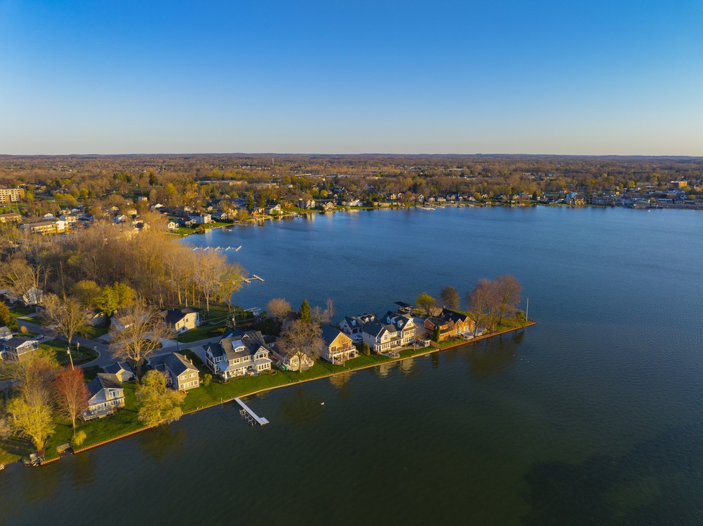
A property that sits outside a designated FEMA flood zone is not necessarily free of flood risk. It may simply be in territory nobody has formally assessed yet. The United States has roughly three and a half million miles of streams, rivers, and coastlines. FEMA has mapped about 1.1 million of those miles, roughly a third. Two-thirds of the country’s floodplains remain unmapped by the federal government, a gap that affects insurance pricing, property valuations, and development decisions.
“When people come out with data saying the flood risk in the country is 50% or 60% greater than what FEMA flood maps show, I’m like, yep, tell me something we don’t know,” says Chad Berginnis, Executive Director of the Association of State Floodplain Managers, a national nonprofit with nearly 7,000 members across local government, state agencies, and the private sector. Berginnis has spent over 30 years in floodplain management across local, state, private-sector, and nonprofit roles.
For real estate investors and developers, the consequence is concrete: relying solely on FEMA flood zone designations to evaluate a property’s flood exposure leaves out the majority of the country’s actual risk.
The Pricing Shift Already Underway
For most of the past several decades, flood risk was broadly underpriced in both insurance and real estate markets, according to Berginnis. That dynamic has started to change, unevenly, but noticeably, over roughly the last five years.
In parts of Florida, flood risk is now affecting not just pricing but actual saleability. In highly desirable coastal areas, the price impact from a flood zone designation may remain small because demand stays strong. In other markets, the impact is larger.
On the insurance side, FEMA’s Risk Rating 2.0, implemented beginning in 2021, brought pricing closer to actual risk by modernizing the rate structure of the National Flood Insurance Program. Private flood insurance has also grown over the past decade, facilitated by legislative changes in 2012 and 2014.
But the affordability picture has worsened. Risk Rating 2.0 made premiums more reflective of actual risk, which helped shore up the program financially. However, because Congress did not address affordability at the same time, higher premiums hit households that were already struggling to pay. “It kind of made the affordability problem worse because we did not address affordability at the same time,” Berginnis says.
Both FEMA and ASFPM have supported means-tested affordability programs targeted at households that genuinely cannot afford coverage, but no such program has been enacted.
Private Insurance Introduces a Different Dynamic
The growth of private flood insurance gives property owners more options, but it operates on fundamentally different principles than the NFIP. Private insurers may drop policyholders after a claim. They may write coverage in a market one year and exit the next, following basic risk concentration principles and the profit motive.
The NFIP, by contrast, cannot refuse coverage to any property in a participating community – even one with repetitive flood losses. Berginnis says property owners sometimes experiment with private policies, then seek to return to the NFIP after experiencing a premium increase or a non-renewal. “People simply need to understand that with a private policy, it works like a private sector policy, with both benefits, but also issues that they might have,” he says.
For property owners, the practical difference is stability. A private policy may offer lower premiums in a given year, but it carries no guarantee of renewal. The NFIP remains available regardless of claims history, making it the fallback when private coverage disappears.
NFIP Reform Is Overdue but Not Imminent
The program has historically been reformed on roughly ten-year cycles, 1994, 2004, 2012, and 2014 being the most recent. By that pattern, another comprehensive reform bill is overdue.
A FEMA Review Council appointed by the President dedicated a section to NFIP reform proposals, but Berginnis describes the report as “pretty problematic,” containing ideas he characterizes as “out of left field.” The report itself deferred to Congress for legislative action on the program.
Congressional dynamics around the NFIP tend to be bipartisan; floods do not discriminate by political affiliation, but the current legislative calendar is crowded with higher-priority items. “I think this Congress, and we’ll see next Congress, we are way overdue for a comprehensive reform bill,” Berginnis says.
Berginnis emphasizes that the NFIP operates on four interactive pillars – insurance, mapping, floodplain management, and mitigation – and that reforming one without addressing the others destabilizes the program. Too many reform proposals focus narrowly on insurance while ignoring the complementary components.
Why the Mapping Gap Matters Most Right Now
Before FEMA went largely silent for approximately 18 months, a period Berginnis describes as a departure from the agency’s behavior during the first Trump administration, the agency was preparing to implement a new mapping approach called the Future of Flood Risk Data. That initiative’s status is currently unknown.
FEMA has begun re-engaging in the last two months, and Berginnis says the confirmation of Cameron Hamilton as FEMA administrator may improve the situation. But 18 months of limited communication left state and local floodplain managers without guidance, creating confusion across the 22,000 communities that rely on FEMA’s flood mapping and program coordination.
Complementary national datasets from organizations like First Street Foundation and Fathom provide broader coverage using catastrophic risk modeling and AI, but Berginnis views them as complementary to FEMA maps, not substitutes.
His advice to builders and developers is direct: build on sites without flood risk first. Land that appears discounted may carry that discount precisely because of flood exposure, and once the builder moves on, that risk transfers entirely to the property owner and the local government.
“FEMA did not put you in a flood zone,” Berginnis says. “You were naturally in a flood zone. FEMA simply identified the risk. Two very different things.”
Every day that passes without complete flood maps means missed opportunities to price risk accurately, guide development away from hazardous sites, and protect property owners from losses they never saw coming.
About the Expert: Chad Berginnis is Executive Director of the Association of State Floodplain Managers, a national nonprofit with nearly 7,000 members across local government, state agencies, and the private sector. He has spent over 30 years in floodplain management across local, state, private-sector, and nonprofit roles.
This article is based on information provided by the expert source cited above. It is intended for general informational purposes only and does not constitute legal, financial, or real estate advice. Readers should conduct their own research and consult qualified professionals before making any real estate or financial decisions.
Similar Articles
Explore similar articles from Our Team of Experts.