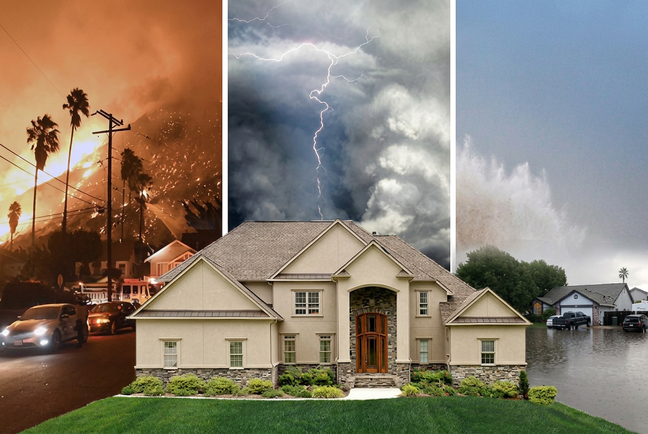
If you own a waterfront property and your FEMA flood map shows low risk, you might feel like you have nothing to worry about. That feeling could be one heavy rainstorm away from costing you everything.
Albert Slap, founder of RiskFootprint™, has spent more than a decade working with property owners, lenders, and due diligence professionals on natural hazard risk. His message to waterfront property owners who rely on FEMA flood maps alone is direct: the map is not telling you the full story.
“FEMA flood maps don’t include heavy rainfall flooding,” Slap says. “Wherever it rains, it can flood. That’s the part most property owners never hear until it’s too late.”
What FEMA Maps Actually Measure
FEMA flood maps were built around a specific type of flood risk: riverine flooding, meaning rivers and streams overflowing their banks, and coastal surge from major storm events. They do this well. What they do not do is model rainfall-driven, or pluvial, flooding. That is the kind of flooding that happens when a storm dumps several inches of rain in a short period and drainage systems cannot keep up.
For waterfront property owners, this distinction is critical. A property sitting on a beautiful bay, canal, coastal inlet or even a lake may show up on a FEMA map as low risk or even outside any flood zone entirely. The map is not wrong about riverine risk. It simply says nothing about what happens when three inches of rain falls in two hours.
FEMA maps also have an age problem. Many were drawn decades ago and have not been updated to reflect changes in land development, drainage infrastructure, or the more intense rainfall patterns the country has seen in recent years.
What Hurricane Harvey Taught Us
The consequences of misplaced confidence in FEMA flood maps played out in devastating detail during Hurricane Harvey in 2017. Approximately 150,000 homes in the Houston area flooded. Seventy percent of them were in FEMA’s X Zone, the designation for areas of lower flood risk. Most of those homeowners had no flood insurance because the map (and in many cases their lender and insurance agent) told them they did not need it. Harvey caused an estimated $125 billion in total damages.
The flooding was not caused by rivers overflowing. It was caused by rainfall. Harvey sat over Houston for days and deposited an almost incomprehensible amount of water on a city that had no reason, according to FEMA’s flood maps, to expect what happened.
Waterfront property faces a version of this same exposure. The scenic water view that makes the property valuable is also a geographic feature that can concentrate water rapidly when rainfall events overwhelm local drainage.
What a Complete Flood Assessment Looks Like
A flood assessment that actually reflects the full risk picture needs to go beyond what FEMA provides. That means integrating rainfall-driven and other flood modeling alongside FEMA maps. This includes models and maps from NOAA and even local, county, or state sources.
In addition to NOAA and NASA and FEMA, RiskFootprint™ uses flood models developed by Fathom and Swiss Re, the same tools used by global insurers and reinsurers, to expand on FEMA’s foundation and give property owners a complete picture of flood exposure across all three mechanisms: riverine, coastal, and pluvial.
But flood exposure is only part of the picture. The other critical factor is always a property’s vulnerability, and that generally depends heavily on one number: how high the first floor of the building sits above the ground.
A waterfront home elevated on pilings with a first floor fifteen feet off the ground faces a fundamentally different flood risk than a property whose front door opens directly onto a ground-level slab, even if both show up identically on a FEMA or other flood map. Using AI and machine learning applied to Google Street View and other imagery, RiskFootprint™ uses a tool that estimates first-floor elevation across more than 300 million U.S. properties, moving the analysis from raw exposure to actual building vulnerability.
What Waterfront Property Owners Should Do Right Now
Slap offers practical guidance for waterfront owners who want a clearer picture of their real flood risk.
First, do not treat a low FEMA X Zone designation as a clean bill of health. It means the riverine flood risk in your area is lower. It says nothing about rainfall flooding.
Second, check whether you have flood insurance regardless of your FEMA zone. Federal flood insurance through the NFIP is available to any U.S. property owner regardless of the FEMA flood zone in which the property is located and costs far less than most people expect. Slap pays $700 a year for flood coverage on his own home, which sits outside a FEMA flood zone but which his own RiskFootprint™ assessment flagged as having rainfall flood exposure from the adjacent golf course.
Third, get a RiskFootprint™ property-level hazard assessment, which includes rainfall flood modeling before you buy, sell, refinance, or renew your insurance. Knowing your actual exposure across all flood types is not just useful information. In some states and under evolving professional standards, it is becoming an expectation.
A complete flood risk assessment for any U.S. residential property is available for $200 at riskfootprint.com/residential-product. For waterfront property owners who want to understand what their FEMA map is not showing them, that is a small price for a complete picture.
RiskFootprint™ is a property resilience assessment platform that provides science-driven hazard analysis across 34+ natural hazard categories for commercial and residential clients. Built to align with ASTM Property Resilience Assessment (PRA) methodologies, it helps building owners, purchasers, lenders, and due diligence professionals identify and evaluate risk at the deal level. Learn more at riskfootprint.com.
This article is based on information provided by the expert source cited above. It is intended for general informational purposes only and does not constitute legal, financial, or real estate advice. Readers should conduct their own research and consult qualified professionals before making any real estate or financial decisions.
Disclosure:
Individuals or companies mentioned may have a commercial relationship with KeyCrew.
The construction technology market is crowded with project management tools, but many companies are realizing that tracking tasks and schedules only solves part of the problem. The other hal...
Along the western shores of Essex County, New York, Lake Champlain’s waterfront communities – particularly Willsboro and Essex – are drawing a growing wave of buyers from New York ...
Santa Barbara’s housing market is now sharply divided by price point. Homes under $2 million are selling steadily, with more buyers and more inventory than last year. But at the high end �...
California’s mountain resort communities are seeing a significant change in who lives there and how homes are used. For decades, Big Bear followed an 80/20 rule: about 80% of homes wer...
While much of the country faces housing market uncertainty, northern Bergen County remains one of the most resilient markets in the region. Local data and agent reports show a sharp contrast...
Connecticut’s residential real estate market is deep into a stretch that would test even the most experienced practitioners. Inventory sits roughly 63% below pre-pandemic levels, buyer...