

The Jacques Team‘s Loodmy Jacques, specializing in luxury homes and oceanfront properties, reports South Florida tracking toward 426 ultra-luxury sales over $10 million in 2025, nearly...

Cutting Time and Costs on Land Deals – With Drones You Fly Yourself

Written by:
Date:
01 Dec 2025
Share via Facebook
Share via Linkedin
Share via X
Copy to clipboard
Drone adoption in real estate isn’t just about cutting-edge tech. It’s about getting answers early enough to make decisions with confidence. Competition for buildable land remains intense in many regions, and even a small delay can mean missing the right parcel or overpaying for a site with hidden complications. At the same time, surveying businesses are dealing with staffing shortages and long backlogs, while buyers expect rapid turnarounds and fewer surprises.
These pressures are pushing real estate teams to rethink how they gather ground info. Drones are stepping in as a faster way to understand what a property really offers, before anyone has spent weeks and thousands of dollars to find out the hard way.
The need for speed

The timing on deals has changed. In many parts of the country, properties that may have once sat for months now move in weeks or even days. Buyers and developers want certainty before they commit resources. That includes basic grading insight, site access, potential drainage problems, and a sense of what construction might eventually look like on that parcel.
Drone technology delivers those insights in hours instead of waiting weeks for a traditional surveyor to have availability. But until recently, barriers kept many teams from adopting drones themselves.
For years, using a drone for surveying meant managing a complex setup. Aircraft and sensors from multiple vendors had to be calibrated to one another. Mapping workflows required specialized software that wasn’t built for the way most land professionals work. Takeoffs and landings were often manual.
It wasn’t unusual for a single trained operator to shoulder all of that responsibility. And if that operator changed roles or left the company, the drone investment often sat on a shelf. As Rob Cammack, who led the development of the Magellan survey drone, put it: “Companies were afraid that if that person leaves, then they’ve made a capital investment they can’t utilize.”
Even businesses that wanted to say yes to drone-based topographical mapping often reluctantly said no. They stuck with slower, more labor-intensive methods because the alternative felt too complicated. Surveyors may have already trusted drone data – they just didn’t trust their ability to run the tools themselves.
The new drones
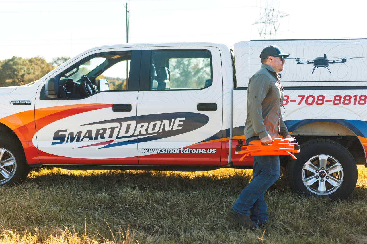
That hesitation has produced drone innovation. Magellan is one of the emerging platforms designed to embed the expertise inside the aircraft rather than inside the operator. Users plan the flight mission by tapping a route on a screen. Both takeoff and landing are automated. And the data transfer happens through a straightforward interface made specifically for land surveyors and civil professionals.
Cammack summarizes it simply: “Slide in the battery. Plan the mission. Hit go.” The goal is to make drone flights feel like part of the everyday workflow, not a separate project that requires outside specialists.
Once field teams are trained and certified under FAA Part 107 – a requirement anyone can complete – they can fly the drone as part of their normal workflow. A civil engineer, site superintendent, or land development manager can gather their own data the first time they step onto a property. For land surveyors already juggling multiple requests, drones that simplify the work can relieve staffing pressure and help them take jobs they once turned away.
Faster site intelligence
What all this means is more intelligence more quickly. Developers scouting multiple parcels can gather design-ready topographical data on each parcel in the same day. They can look at slope, elevation, and existing features with a level of certainty that used to require days of waiting for someone else’s schedule to open up.
These abilities help to save projects that might otherwise fall apart once the true conditions become clear. The insights also improve collaboration among contractors and engineers after work begins. Instead of relying on scattered point measurements taken by hand, you can validate progress with millions of LiDAR points tied precisely to the site model.
And the benefits don’t stop at the first site visit. Once that aerial data is captured, it becomes the foundation for the planning and approval decisions that follow. Avi Aflalo, co-founder of Simplex 3D, sees drones as a crucial part of the ecosystem that turns raw terrain into real projects. His company builds high-resolution 3D environments for governments and developers, and those models begin with aerial data collected from aircraft-mounted cameras and LiDAR, including drone flights.
Cities use the resulting maps to evaluate zoning, test shadow and height impacts, understand infrastructure needs, and run simulations before approving new development. Public-safety agencies rely on them to plan response routes and coordinate operations during major events. Developers and brokers tap into the same system to analyze views, measure distances, and visualize how new buildings will sit within the surrounding terrain.
That entire chain depends on accurate, current site information from the start. Aflalo puts the need simply: “Teams want insight before they commit – approvals, shadows, the view, what’s getting built next door.”
Numbers that matter
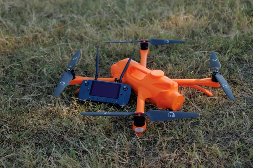
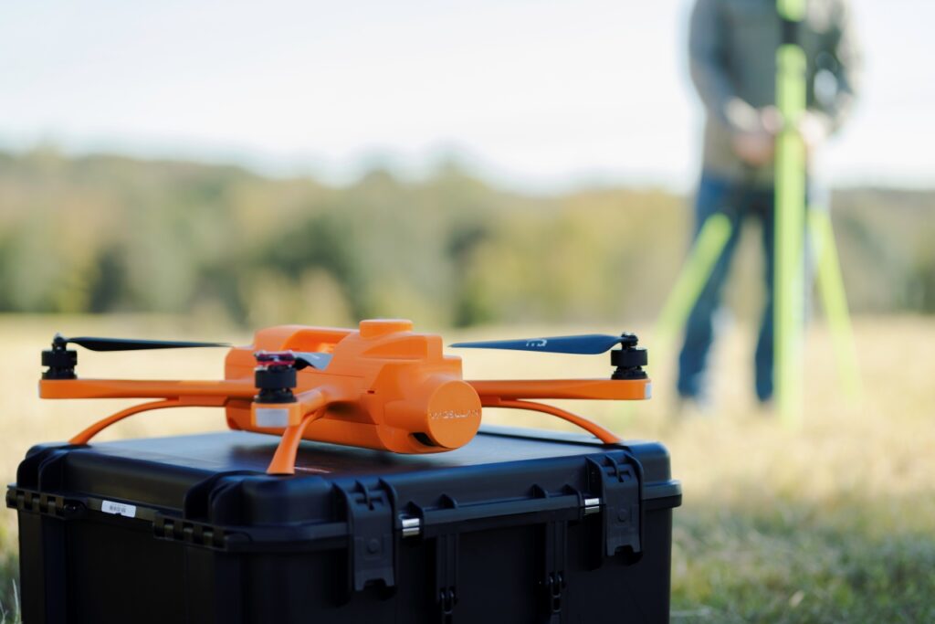
For drones to meaningfully change how real estate teams work, the technology has to hold up in the field: long enough flight durations to cover real parcels, enough LiDAR density to trust grading decisions, and a form factor that teams can take anywhere. Magellan was designed around those requirements, because field-tested numbers matter more than idealized lab claims.
Magellan’s current benchmarks include flight durations near 40 minutes, roughly 150 acres mapped per battery in typical terrain, and 5.2 million LiDAR points per second. That density gives teams confidence in measurements like slope, cut-and-fill estimates, and drainage paths. And because the aircraft weighs around 11 pounds and fits in a truck case, it can be carried onsite and deployed without staging equipment or extra hands.
Capabilities like that turn aerial mapping from a complicated specialty task into a routine visit. When a drone can collect design-ready data during the first walkthrough of a site, decisions shift from reactive fixes to proactive planning. Field operators gather the information. Designers pull it directly into their models. Executives have a clearer basis for deciding whether a parcel is worth pursuing now – or at all.
What’s next
Drone adoption isn’t about chasing shiny new technology – it’s about removing uncertainty from the biggest decisions in a project’s life. With a clear picture of real conditions at the outset, you can negotiate from a position of strength, avoid costly surprises, and evaluate multiple opportunities without wasting time or budget.
And the payoff isn’t limited to large companies with dedicated survey teams. Any business that develops, grades, or manages land can benefit from faster access to reliable site intelligence. As Rob Cammack puts it: “If you have a bulldozer or grader, you’re big enough to benefit from a drone.”
Similar Articles
Explore similar articles from Our Team of Experts.